Next-Gen ROVs
How modern technologies are transforming the Oil & Gas industry.
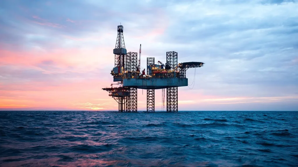
The offshore survey industry is currently undergoing a major transformation driven by the rapid rise of innovative technologies. These advancements are designed to enhance accuracy, improve efficiency, and reduce risks associated with offshore operations. In particular, new tools and methodologies are enabling companies in the Oil & Gas sector to conduct surveys more effectively and safely, whether it’s positioning offshore structures or inspecting seabed conditions. By embracing these technologies, industry players can optimize their workflows, reduce operational costs, and gain deeper insights into critical data, all while ensuring compliance with safety and regulatory standards.

1. Advanced Positioning Systems
Positioning systems have evolved dramatically over the last decade, especially with the continuous advancements in GPS technology. This improvement has led to significant strides in offshore surveying, particularly in well-head positioning and pipeline cable-lay support surveys. Today, advanced GPS systems enable surveyors to pinpoint locations with unprecedented accuracy, making tasks like anchor handling, rig moves, and pipeline inspections more reliable and time-efficient. These systems, combined with real-time data processing, allow survey teams to make quick decisions and adjust to unexpected challenges in offshore environments, reducing the time needed to complete complex tasks.
2. ROV Capabilities Expanding
Remote Operated Vehicles (ROVs) have become a critical asset in the offshore surveying industry. These underwater robots are now capable of conducting high-precision seabed surveys, inspecting pipelines, and performing complex maintenance tasks with minimal human intervention. ROVs are equipped with advanced cameras, sensors, and robotic arms, which allow them to gather data and perform inspections at depths that would be difficult or dangerous for humans to access. With their growing capabilities, ROVs are playing a pivotal role in reducing the need for manual intervention in underwater surveys. This not only minimizes human risk but also increases the speed and accuracy of data collection. For example, ROVs are now capable of performing detailed platform inspections, pipeline assessments, and even seabed mapping with remarkable precision, leading to better-informed decisions and more cost-effective operations in offshore projects.

3. Data-Driven Insights
One of the most transformative advancements in offshore surveying is the integration of artificial intelligence (AI) and machine learning (ML) into data processing workflows. AI-driven systems are now able to analyze vast amounts of data gathered by survey instruments such as ROVs, positioning systems, and bathymetric sensors. These systems can quickly identify patterns, anomalies, and trends that would take humans much longer to process manually.
By leveraging AI-powered data analysis, survey teams are able to gain deeper insights into seabed conditions, infrastructure health, and potential risks. For example, AI algorithms can automatically detect pipeline damage or potential hazards on the seabed, enabling proactive maintenance decisions. Additionally, these insights can be used to optimize project planning and resource allocation, further enhancing the efficiency and safety of offshore operations.
- Related Blogs
